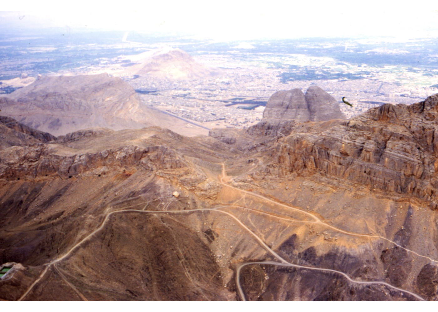
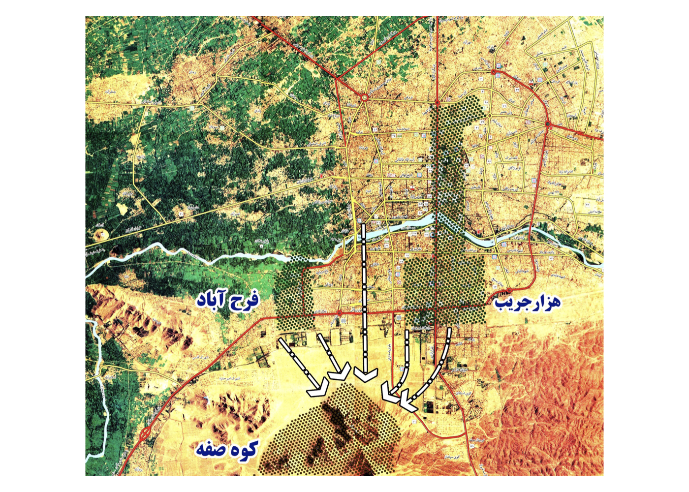
This project involves comprehensive studies and a strategic design plan for Mount Safa (Kuh-e Sefeh), its natural and historical sites, as well as the surrounding lands and elevations, adopting an integrated urban-environmental design approach.
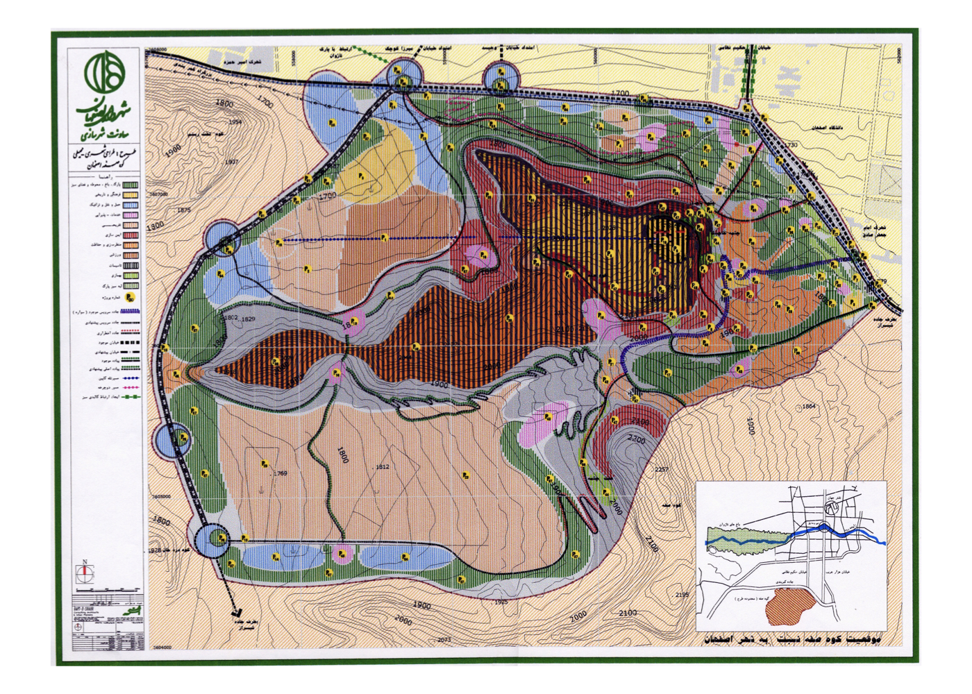
A key proposal includes transforming the current ring road into an urban street by relocating it to the southern side of the mountain. This will enable the reconnection of the surrounding lands to the urban fabric of Isfahan and improve public access to the area.
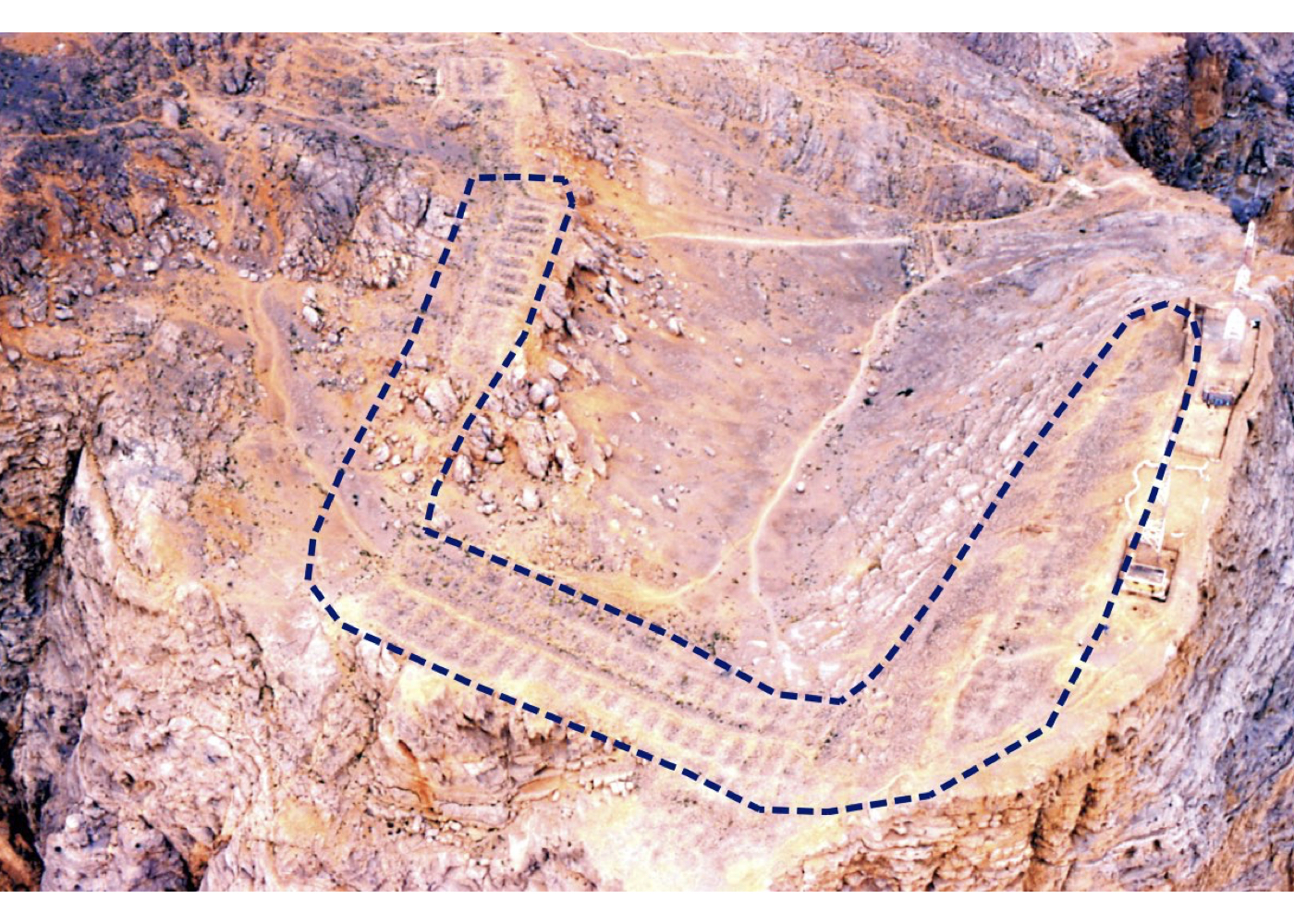
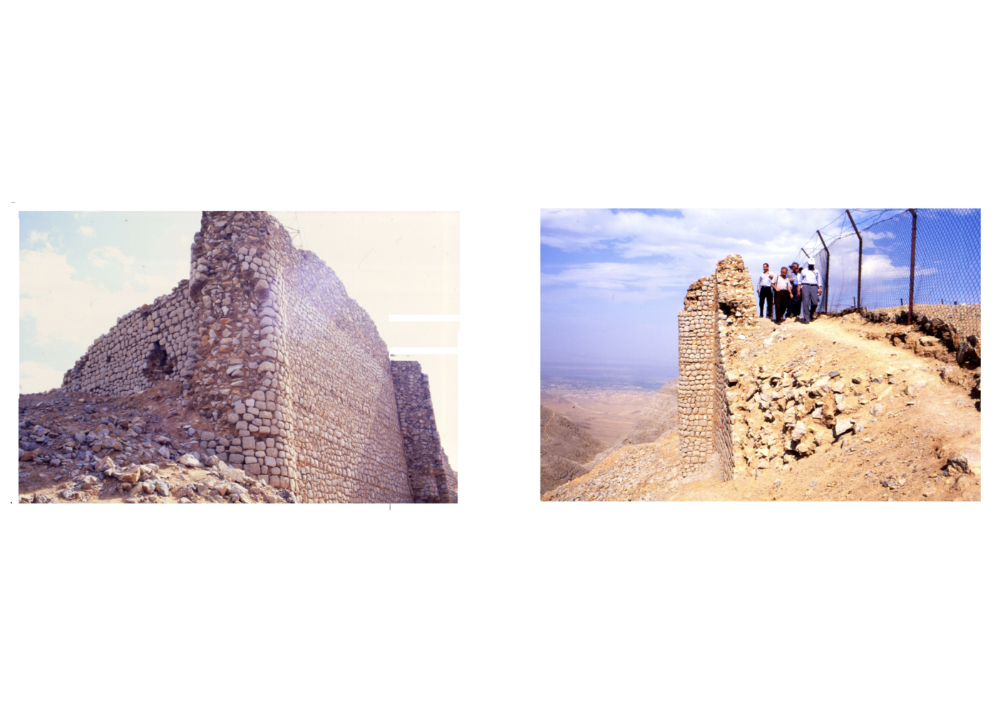
The project envisions the development of various service, tourism, and recreational complexes aimed at providing accommodation and leisure opportunities for both residents and domestic/international visitors. The revitalization and restoration of historical landmarks such as Shah-Dezh Fortress and the existing natural springs are also included in the plan.
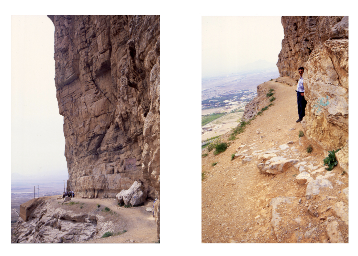
In terms of transport, the plan proposes a cable car system starting from the shooting range area to the west and ending at a station located at a lower altitude and a safe distance from Shah-Dezh. Additionally, technical and safe access routes to the highlands have been designed.
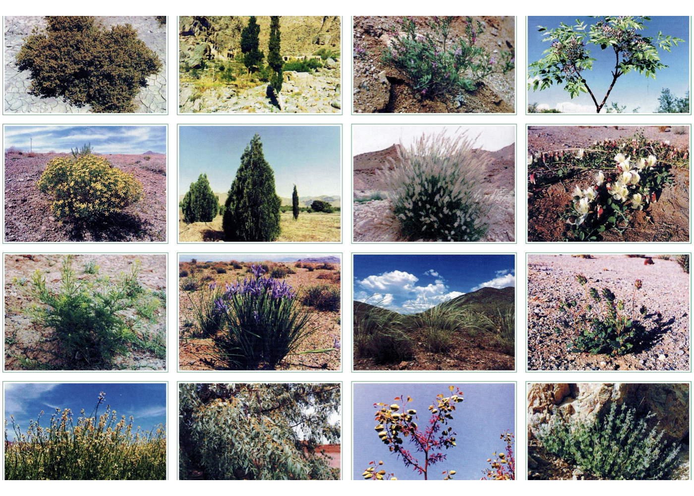
One of the key environmental features of the plan is the creation of a natural wildlife habitat for native species of the Central Iranian Highlands, to be established among the ridges of Mount Safa.
The total study area for this project spans approximately 800 hectares.
* In Section 8 (The Sustainable Development Approach), additional data from this plan are presented.